Seismology: Description of Modules
Import SEISAN Data
Imports SEISAN data stored in the NORDIC and NORDIC2 format, and includes .macro files for macroseismic information.
Import Generic FPS
Imports generic fault plane solutions stored in an ASCII file. This is stored in a csv file. The format is as follows:
Longitude, Latitude, Strike, Dip, Rake, Magnitude
Correct SEISAN Type 3 Descriptions
The SEISAN type 3 line is a flexible line which is currently in use by the CGS to store bulletin region information. Through the course of the history of assembling an earthquake catalogue, spelling mistakes can occur. The purpose of the tool is to compare the type 3 lines with an existing list of descriptions, and correct where necessary.
The user must only provide the location of a text file containing a list of descriptions to be used.
Filter SEISAN data
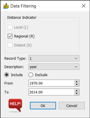
Here, the SEISAN catalogue can be filtered to select relevant portions for later examination. The user can specify the following:
Distance indicator - this can be any combination of local, regional or distant events.
Record type - choose the record type to use for the filter
Description - choose which column in the record type to filter on.
Include or Exclude - specify type of filtering operation
From and To - range to filter.

Fault Plane Solutions
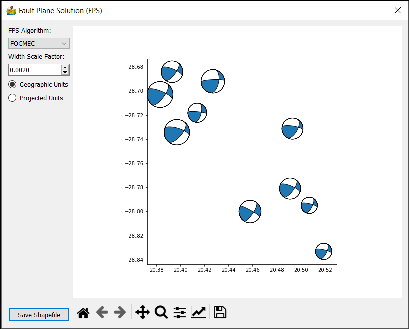
This module allows for the display of fault plane solutions as beachball plots. The beachball plots can be exported to shapefiles. Note that two shapefiles are exported - one for the actual beachballs and one for a boundary of the beachballs.
The core code is translated from bb.m written by Andy Michael and Oliver Boyd at http://www.ceri.memphis.edu/people/olboyd/Software/Software.html
Option are:
FPS Algorithm - can be FOCMEC or FPFIT
Width scale factor - option to scale the “beachballs”
Geographic units or Projected units.

Remove Quarry Events
This script allows for the removal of quarry events from seismology data. It is based on the paper by Wiemer and Baer (2000)


